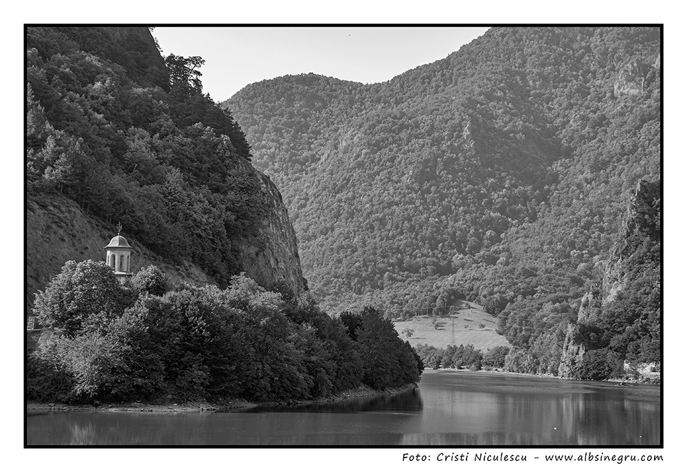
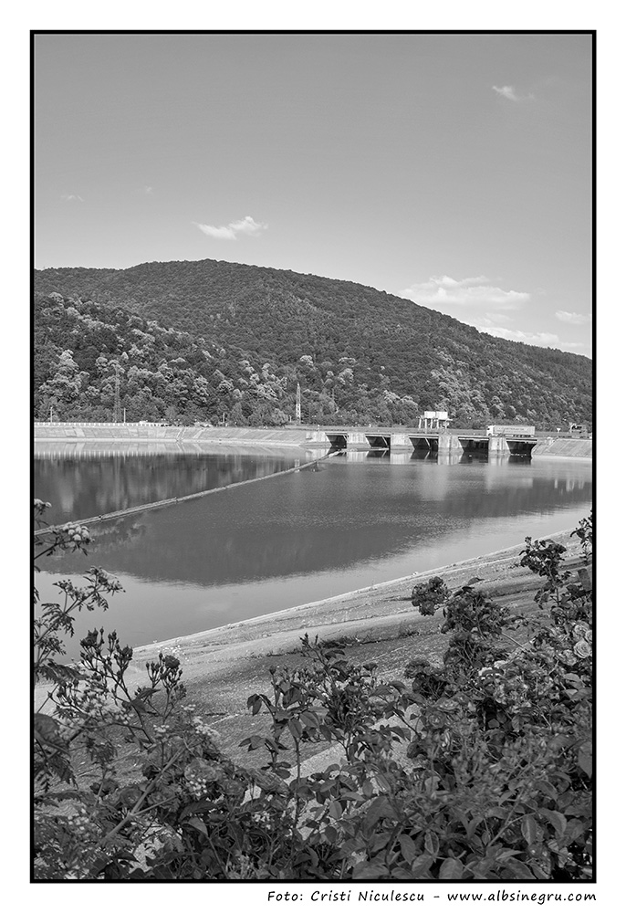
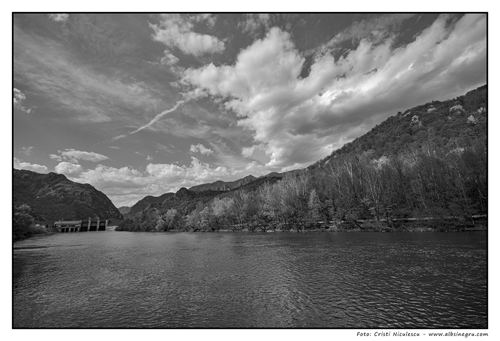
- Cu o lungime de 615km, râul Olt izvorăște din Munții Hășmașu Mare, situați în Carpații Orientali, parcurge șapte județe, formând un traseu complex, prin zone de depresiuni, defilee, câmpie și podiș, pe parcursul acestuia fiind formate aproape 30 de lacuri de acumulare. Pe Valea Oltului se găsesc numeroase puncte de atracție turistică. Stațiunile Călimănești-Căciulata, Govora sau Băile Olănești sunt stațiuni balneoclimaterice de mare traditie. De asemenea, în zonă există numeroase mănăstiri, care dau zonei un aer aparte și o fac extrem de atractivă, oferind posibilități aparte de petrecere a concediului.
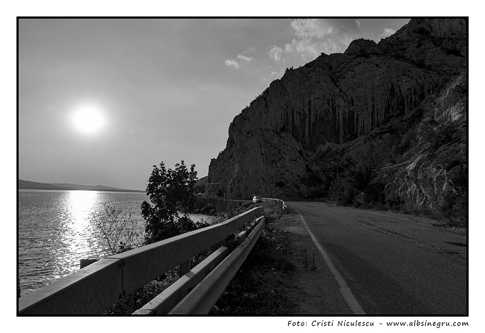
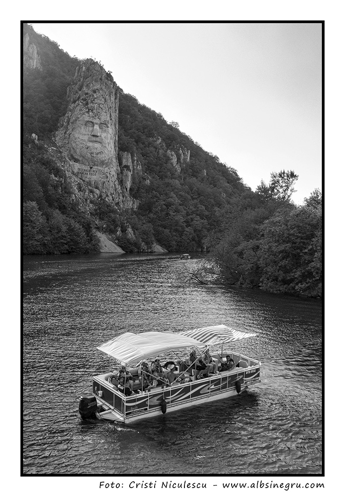
- Valea Oltului a fost unul dintre drumurile romane cele mai importante din Dacia, cu o dublă funcţie – militară şi comercială (lega Transilvania cu Dunărea) ceea ce a impus crearea în zonă a unei unităţi speciale de control, cu misiunea de a supraveghea defileul. Aici se găseşte și cetatea romană de la Arutela. Oltul însuşi în aval de defileu constituia o importantă cale de transport naval, dublând astfel transportul terestru. Toate acestea au determinat o puternică dezvoltare economică, reflex al unei vieţi active în domeniul schimbului comercial şi al producţiei de marfă.
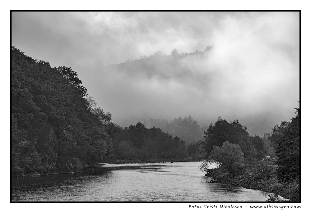
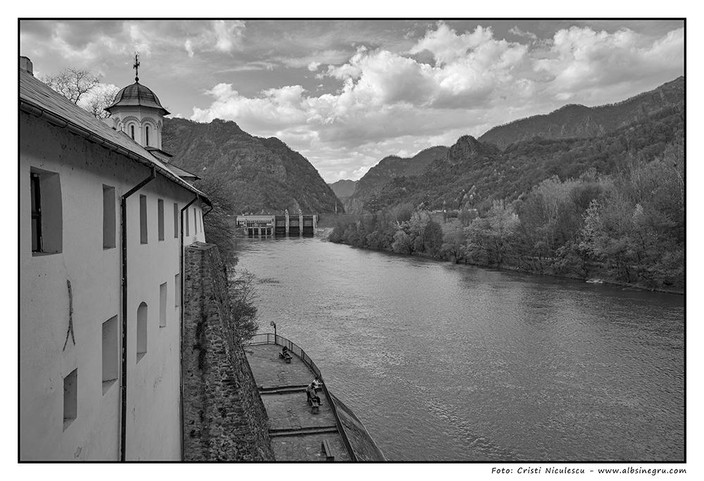
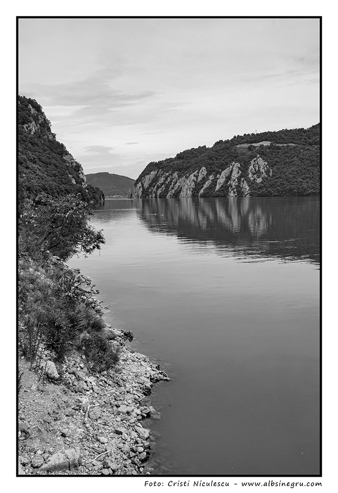
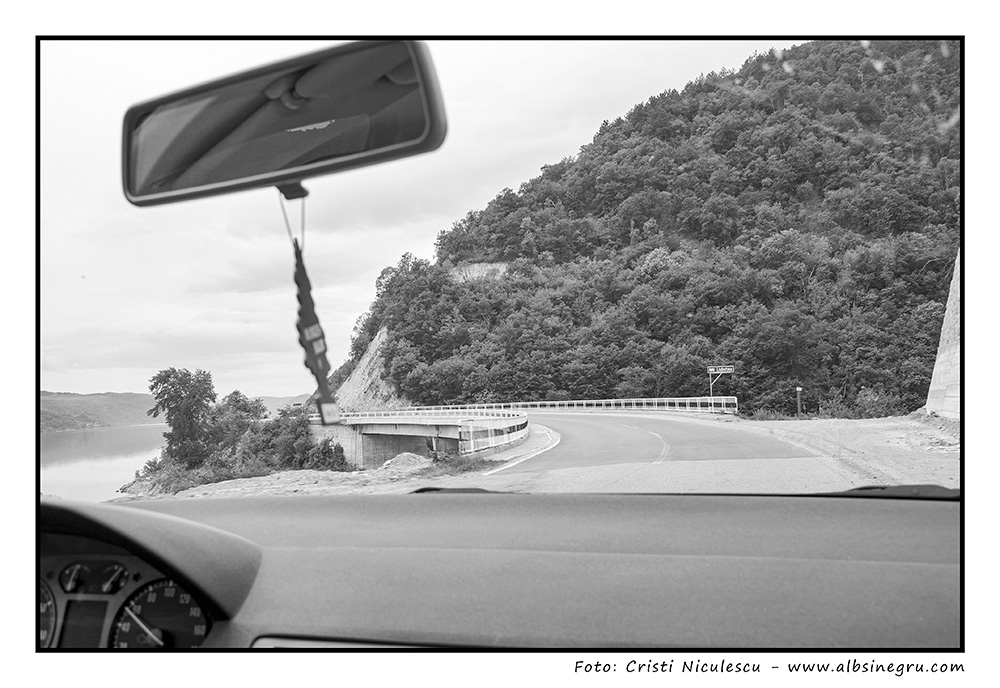
- Descrierile geografice ale Defileului Turnu Roșu – Cozia prezintă zona ca una dintre cele mai însemnate văi transversale ale lanțului carpatic. Este un traseu important prin natura reliefului, prin modul de formare și imaginea atrăgătoare a unui peisaj cu totul deosebit și mai ales, prin atributele geo-istorice evident manifestate încă din antichitate, ca urmare a facilitării unor legături strânse între regiunile intens populate de la nord si de la sud de Munții Carpați.
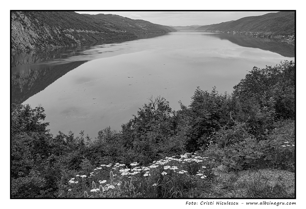
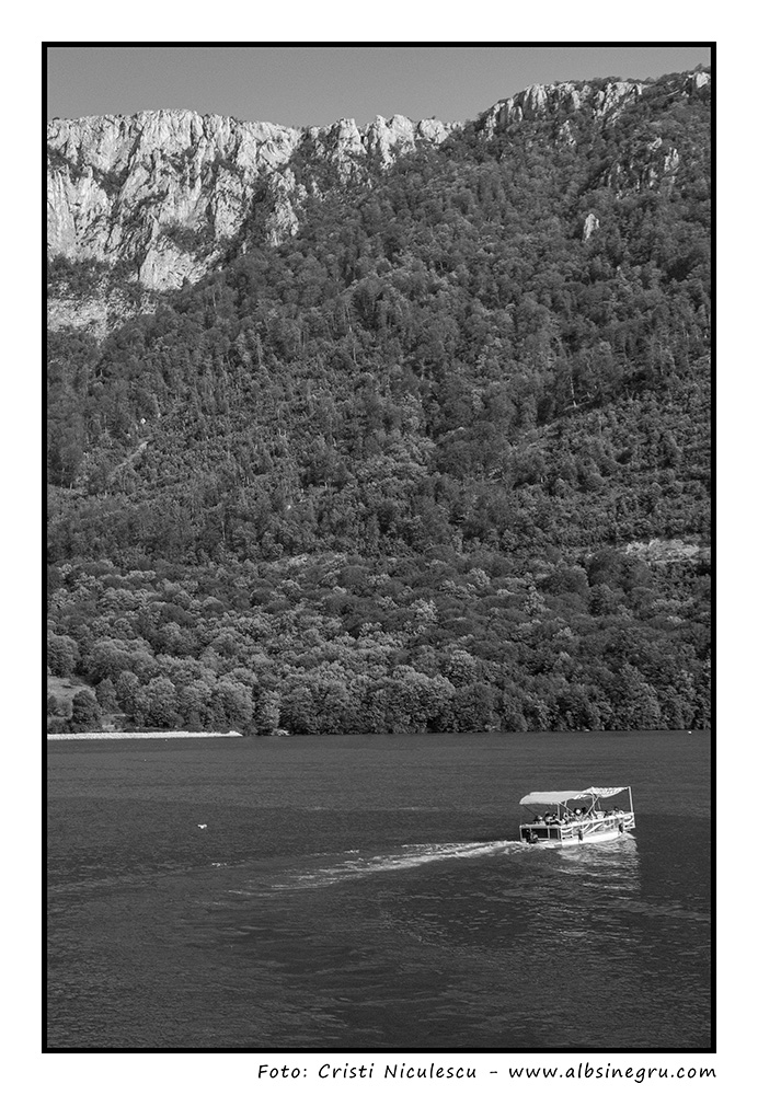
- Parcul Naţional Cozia, în suprafață de peste 17.000 de hectare, declarat arie protejată în anul 2000, se află situat în partea central-sudică a Carpaţilor Meridionali, mărginit la nord de Depresiunea Loviştei, strãvechea Terra Loystha, o vastă arie încărcată de istorie, cu multe localităţi, organizate odinioară în ţinutul lui Seneslau, unde populaţia continuă tradiţiile şi obiceiurile străvechi. Faţă de depresiunile înconjurătoare, ce au înălţimi relativ mici (500-700 m), Masivul Cozia se detaşează net, apărând din depărtări ca o cetate de stâncă, cu abrupturi, cu contraforturi şi cu o mulţime de vârfuri marginale şi interioare. Această arie muntoasă este străbătută, pe direcţia nord-sud, de apele râului Olt , ce a sculptat în timp Defileul Gura Lotrului — Cozia.
- With a length of 615 km, the Olt River originates from the Hășmașu Mare Mountains, located in the Eastern Carpathians, it runs through seven counties, forming a complex route, through areas of depressions, gorges, plains and plateaus, along which almost 30 reservoirs have been formed . There are numerous tourist attractions in the Olt Valley. The Călimănești-Căciulata, Govora or Băile Olănești resorts are balneo-climatic resorts of great tradition. Also, there are numerous monasteries in the area, which give the region a special atmosphere and make it extremely attractive, offering special possibilities for spending the holidays.
- The Olt Valley was one of the most important Roman roads in Dacia, with a dual function – military and commercial (connecting Transylvania with the Danube), which required the creation of a special control unit in the area, with the mission of overseeing the gorge. Here is also the Roman fortress from Arutela. The Olt River downstream of the gorge constituted an important route for naval transport, thus doubling land transport. All this determined a strong economic development, a reflection of an active life in the field of commercial exchange and production of goods.
- The geographical descriptions of the Turnu Roșu – Cozia Gorge present the area as one of the most significant transverse valleys of the Carpathian chain. It is an important route due to the nature of the relief, the way of formation and the attractive image of a very special landscape, and above all, due to the geo-historical attributes evident since antiquity, as a result of the facilitation of close connections between the intensely populated regions of the north and from the south of the Carpathian Mountains.
- The Cozia National Park, in an area of over 17,000 hectares, declared a protected area in 2000, is located in the central-southern part of the Southern Carpathians, bordered to the north by the Loviște Depression, the ancient Terra Loystha, a vast area full of history, with many localities, once organized in the land of Seneslau, where the population continues the traditions and customs ancient. Compared to the surrounding depressions, which have relatively low heights (500-700 m), the Cozia Massif stands out clearly, appearing from a distance like a rock fortress, with steeps, buttresses and a lot of marginal and interior peaks. This mountainous area is traversed, in the north-south direction, by the waters of the Olt River, which carved the Gura Lotrului — Cozia Gorge over time.